Marine Expertise
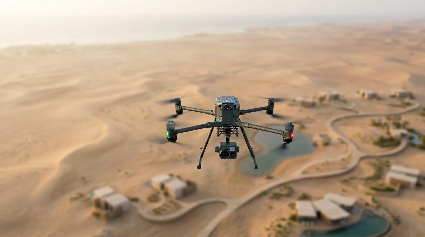
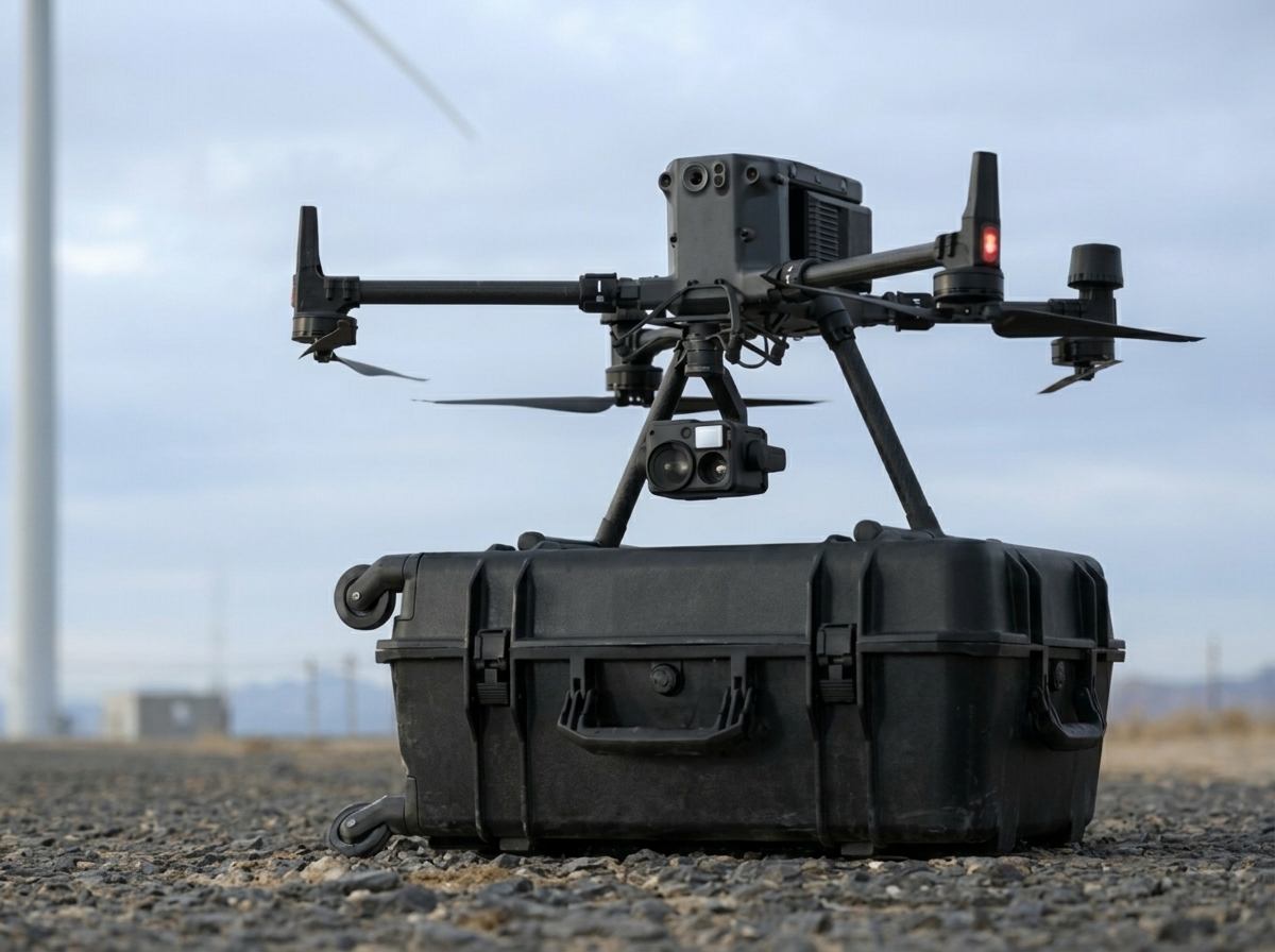
Aerial UAV Drone Surveying
Global Certifications
ISO & Class Approved
Unmatched Maritime Excellence
Advanced Technologies & Solutions

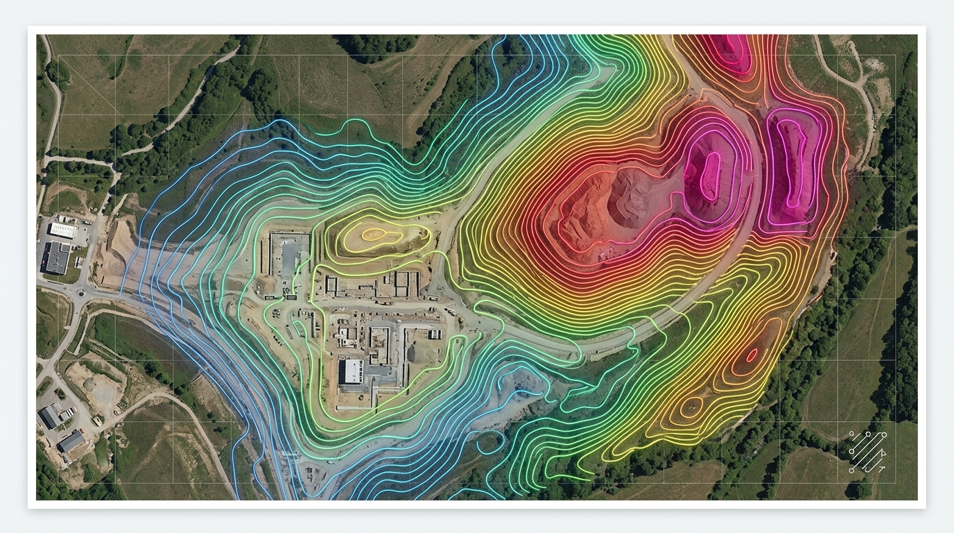
Topographic & Volumetric Modeling
We establish accurate 3D baselines of existing site conditions and track changes over time to support earthwork calculations, volume verification, and budget management.

Underwater ROV Inspection for Confined Spaces
Using remotely operated vehicles, we access hard-to-reach subsea areas to collect visual data on structural integrity, enabling thorough inspection where diver access is limited.

Drone LiDAR Survey
Our UAV-based LiDAR systems generate high-density, georeferenced 3D point clouds, penetrating vegetation to produce precise elevation models and bare-earth maps.

Smart City Development Support
We provide spatial data that integrates with digital infrastructure systems, helping optimize utilities and public services for more sustainable, efficient urban environments.

Safety Compliance Monitoring
Through real-time visual data and automated tools, we identify safety protocol deviations, supporting proactive risk reduction and regulatory compliance on project sites.
Our Leading Gulf Maritime Projects
Real-world execution of our marine services meeting highest international standards
Risk Control Hierarchy
Elimination
Physically remove the hazard from the workplace - most effective control
Substitution
Replace the hazard with something less hazardous
Engineering Controls
Isolate people from the hazard using engineering solutions
Administrative Controls
Change the way people work through procedures and policies
PPE
Protect the worker with PPE - least effective control
Ready to Lead Your Marine Project?
Contact our expert team today to discuss your requirements and get specialized technical consultation