
خدمات مسح الرادار الاختراقي الأرضي (GPR)
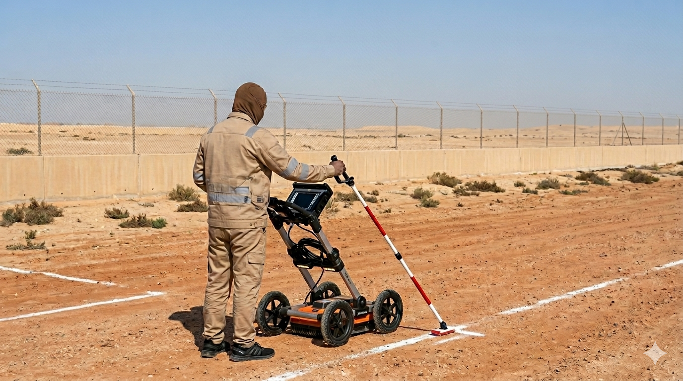
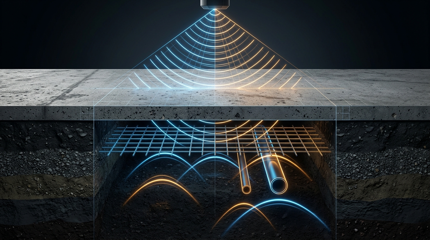
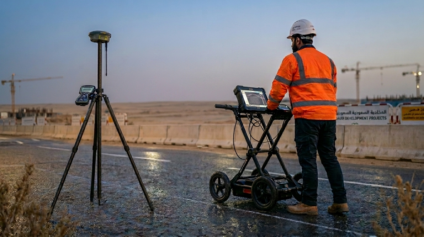
Subsurface Utility Mapping & Engineering (SUE): Accurately identifying, tracing, and labeling a vast spectrum of buried critical infrastructure—including metallic and non-metallic pipelines, live electrical cables (using specialized induction locators), fiber optics, communication networks, gas mains, water networks, and sewer systems. All subsurface profiling workflows are executed in strict compliance with the ASCE 38-02 American Standard for Subsurface Utility Engineering to systematically prevent catastrophic utility strikes. Concrete Structure & Structural Slab Scanning: Executing high-resolution, localized scans across concrete slabs, columns, retaining walls, foundations, and pan decking prior to any cutting, coring, or drilling. This non-destructive testing (NDT) application maps out internal rebar spacing and distribution, detects post-tension structural cables, tracks concealed conduits, and isolates hazardous internal air voids that could compromise structural load capacities if breached. Geotechnical, Void & Cavity Detection: Investigating subsurface geological layer characteristics to ensure foundational stability for high-load structures, highways, and railways. Our GPR systems accurately map natural and man-made subsurface features, including hidden cavities, underground fractures, sinkholes, depth-to-bedrock profiles, water table levels, and the exact thickness of soil strata layers on land or beneath freshwater bodies. Multi-Sensor & Geodetic Integration: Combining raw ground-penetrating radargram data with alternative advanced surveying systems to ensure absolute spatial certainty. We integrate our scanning workflows with active electromagnetic Cable & Pipe Locators and tie every discovered subsurface feature directly to the project’s master geodetic control network using high-precision DGPS (Differential Global Positioning Systems) and Electronic Total Stations. Transportation Infrastructure & Environmental Studies: Conducting rapid, continuous subsurface evaluations across the transportation and environmental sectors. This includes non-destructive pavement thickness profiling on highways, railroad track-bed ballast degradation studies, and structural bridge scour assessments. Additionally, the technology is deployed to safely delineate old landfill boundaries, locate buried storage tanks, and map out sub-surface contaminant plumes without risking ground puncture. BIM-Ready Engineering Deliverables: Processing, filtering, and interpreting raw radar wave reflections to eliminate environmental noise and surface clutter. The interpreted anomalies are translated directly into high-end, clean engineering assets that match our clients' digital environments. Final datasets are routinely delivered as standardized DWG and DXF CAD vectors, comprehensive engineering reports in PDF, and intelligent 3D models formatted explicitly for Autodesk Revit (BIM).
خبرة بحرية
خدمات مسح الرادار الاختراقي الأرضي (GPR)
اعتمادات عالمية
ISO & Class Approved
تميز بحري لا يُضاهى
مشاريعنا الرائدة في الخليج
صور حقيقية من تنفيذ خدماتنا البحرية وفق أعلى المعايير العالمية
هرم التحكم في المخاطر
الإزالة
إزالة الخطر تماماً من المصدر - أكثر طرق التحكم فعالية
الاستبدال
استبدال الخطر بخطر أقل خطورة
الضبط الهندسي
عزل الناس من الخطر باستخدام وسائل هندسية
الضبط الإداري
تغيير طريقة عمل الناس من خلال الإجراءات والسياسات
معدات الوقاية الشخصية
حماية العامل بمعدات الوقاية الشخصية - أقل طرق التحكم فعالية
جاهزون لقيادة مشروعك البحري؟
تواصل مع فريق الخبراء لدينا اليوم لمناقشة متطلباتك والحصول على استشارة فنية متخصصة