Our Services
Our Services
What
we
Offer?
Geological, Geophysical & Environmental Studies
Geological & Geophysical Studies, Consultancy, and Research
Meteorology & Oceanography
Biodiversity Monitoring and Survey
Multi-Hazard Early Warning Systems
Met-Ocean Monitoring Systems
Survey & Mapping Solutions
Topographic Survey
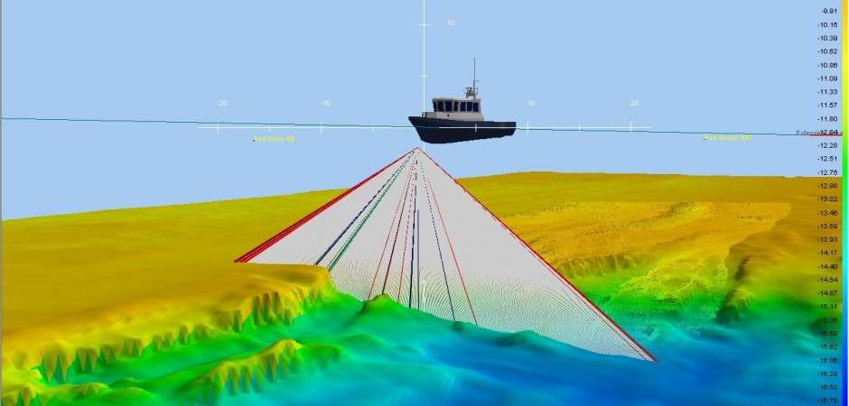
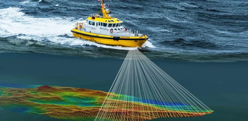
Hydrographic Survey (Single Beam, Multi Beam)
Underground Utility Survey
GIS and Geospatial Solutions
Survey Project & Engineering Management
Survey Project Management & Environmental Survey
Survey Engineering Solutions, Consultancy, and Training
Marine & Offshore Positioning Services
Positioning Services
Navigation & Vessel Positioning
BMS (Barge Management System)
Machine Control System, USBL, Echoscope
Marine Construction & Support
Pipeline Construction Survey Support
Dredging, Trenching, Reclamation, and Piling Support
Our Core Services
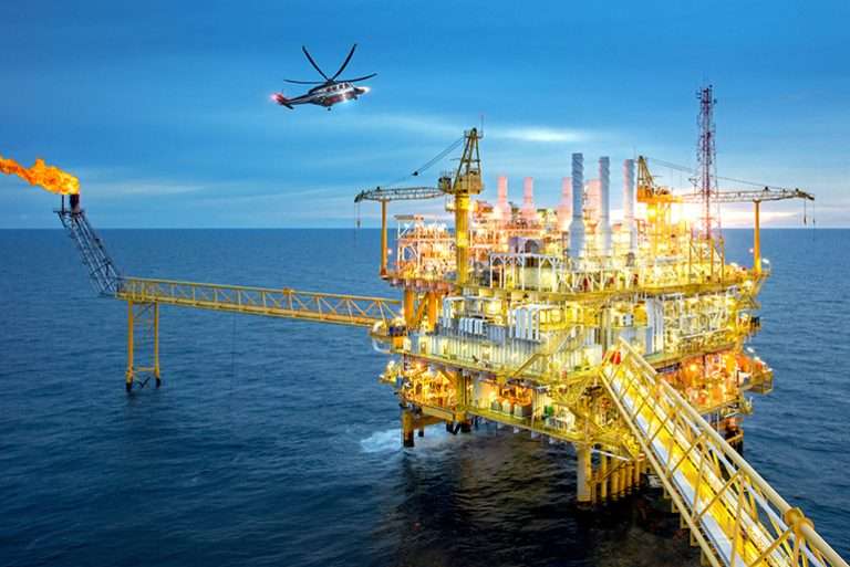
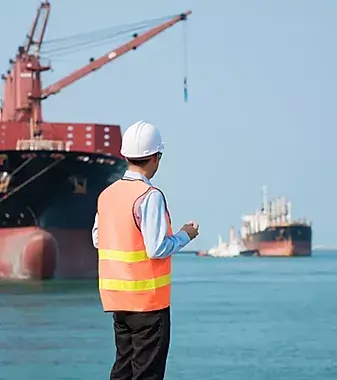
Offshore & Onshore Oilfield Survey
We provide specialized surveying services for oil and gas operations, both offshore and onshore. These include positioning for drilling rigs, subsea infrastructure surveys, pipeline routing, site assessments, and geophysical investigations to support exploration, development, and production activities.
Services include:
- Geodetic control and site survey
- Subsea pipeline and structure mapping
- Bathymetric and geophysical data acquisition
- Platform and rig positioning support
Positioning & Navigation Support
Our positioning services ensure real-time accuracy for offshore vessels, construction equipment, and survey platforms. Using GPS/GNSS, USBL, and dynamic positioning systems, we enable precise navigation and alignment essential for offshore construction and operations.
Applications include:
- Dynamic vessel positioning for marine operations
- USBL (Ultra Short Baseline) tracking for ROV/AUV operations
- Real-time navigation display systems
- Survey-grade positioning for dredging and pipe-lay vessels
Marine Projects Related Survey
We support a wide range of marine infrastructure projects through detailed surveys and geospatial data analysis. These services are critical for safe, sustainable, and successful marine construction and maintenance.
Applications include:
- Feasibility and pre-construction surveys
- Monitoring of marine construction activities
- Sediment transport and seabed analysis
- As-built and progress surveys
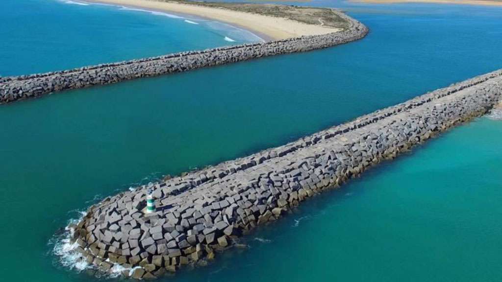
Breakwater, Jetty, Channel & Island Survey
Specialized surveys for coastal and island infrastructure projects to support the planning, design, and maintenance of structures such as jetties, breakwaters, channels, and artificial islands.
Scope includes:
- Shoreline mapping and bathymetric profiling
- Structural condition assessment
- Dredge volume calculations
- Erosion and sedimentation studies

Environmental Survey Solutions
We provide comprehensive environmental survey services to support compliance, risk assessment, and sustainable development in marine and terrestrial environments. Our approach integrates ecological, oceanographic, and meteorological data.
Key services:
- Environmental baseline surveys (EBS)
- Biodiversity and habitat assessments
- Oceanographic data collection (waves, currents, tides)
- Meteorological monitoring and forecasting
- Impact assessments and monitoring programs
Construction Services
Specialized surveys for coastal and island infrastructure projects to support the planning, design, and maintenance of structures such as jetties, breakwaters, channels, and artificial islands.
Scope includes:
- Shoreline mapping and bathymetric profiling
- Structural condition assessment
- Dredge volume calculations
- Erosion and sedimentation studies
OUR
EXPERTIES
Hydrographic & Topographic Survey
We provide accurate Hydrographic & Topographic Surveys for land and water environments using advanced equipment. Our data supports planning, construction, and environmental projects with reliable geospatial information.
Positioning Services
We deliver precise positioning solutions for offshore and onshore projects using advanced GPS and GNSS technologies. Our services support marine navigation, construction, and survey operations with high-accuracy data.
Machine Control System
Our Machine Control Systems enhance construction efficiency by integrating GPS and sensor technology into heavy machinery. This ensures precise grading, excavation, and positioning, reducing rework and increasing productivity
Marine Geophysical Survey
Delivering precise seafloor and subsurface imaging to support safe, efficient marine exploration and engineering operations.
Meteorology & Oceanography
Specialized forecasting and ocean analysis that support safe, informed decision-making for offshore and marine operations