Positioning Services
Positioning Services
Positioning is one of the most critical tasks in surveying, as it answers the fundamental question: Where on Earth am I? A wide range of instruments are used for positioning, from traditional tools like sextants, theodolites, and auto levels to modern equipment such as total stations, laser scanners, and GPS systems.
The required level of accuracy depends on the survey’s objective. For instance, positioning for a bridge pier demands centimeter-level accuracy, while a reconnaissance survey for geological mapping may only require accuracy within a few hundred meters. The Standard Error of the Mean (SEM) can be calculated at any time to assess the accuracy of a survey and identify any gross errors.
Underwater Acoustic Positioning
Underwater acoustic positioning is essential in marine operations such as salvage, offshore oil and gas, marine archaeology, and tracking towfish for side-scan sonar surveys.
However, underwater positioning is more complex than surface positioning. Sound waves underwater do not travel in straight lines—they bend due to thermoclines, which are caused by variations in water temperature and salinity. These factors affect sound velocity and may create shadow zones. To achieve high positional accuracy, it's crucial to understand how sound velocity changes throughout the water column. Additionally, noise from vessels and nearby equipment must be minimized through careful planning.
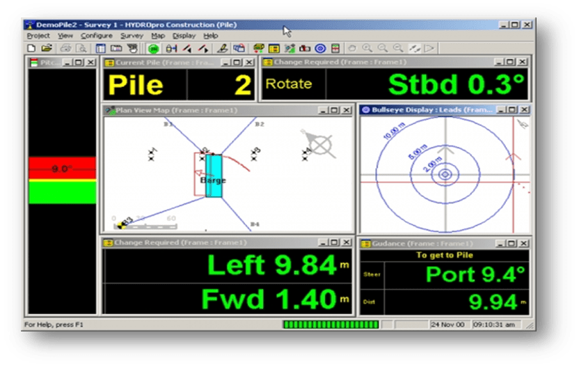
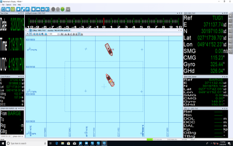
Common Applications of Positioning Services:
Breakwater Construction
Vessel Berthing in Ports
Rig Movement & Positioning
Port & Harbor Maintenance
Pipeline Laying Activities